"Atlas Patience" - A small German treasure (mh-0472)
June 21, 2021
To find geographical puzzles from the middle of the 19th century is not so easy - especially if you are looking for German ones. So I was excited to get this small but awesome collection of puzzle maps from the 1850s / 1860s:
The box sizes 14,7 x 12,7cm and the maps only 13,0 x 10,0cm. There are 24 maps showing the two hemispheres, continents and countries in the 1840s.
An interesting map is the one of the 27 Northamerican Free States (including Texas as the newest one in 1845). So we can narrow the period of the maps down to 1845-1850.
Unfortunately there is missing the upper piece of the Turkish Empire. But it's okay for a game of the middle of the 19th century.
For so many years I tried to find a version of the geographical block puzzle by the German manufacturer Otto Maier from Ravensburg. But two weeks ago, I found a copy at Ebay and I was so happy after winning the auction! The title of this game is 'The young geographer' and it's displayed in two languages: in German ('Der junge Geograph') and in French ('Le petit geographe'). The puzzle comes in a wooden box and contains 6 map templates with the corresponding blocks: Western & Eastern hemisphere, Europe political and physical, a political map of Germany and another one from Austria-Hungary. Published in 1885 before the Geographical Patience Game from 1891 and the Mosaic Game from 1895. Look at all maps of this puzzle.

Welcome back to my next column of MAPPING THE WORLD with Maria! The American One Only 10 cardboard pieces but not easy to find! Here comes the Pratt Food Company who sold animal & poultry regulators around the world! Founded in 1872 in Philadelphia, Pennsylvania, the company run offices from New Zealand to Cape Town until at least 1950. This cool little advertising puzzle wears the typical American colours – red, blue and white. The typical dressed American in the middle of the image holds a package of good animal food in his hands. I guess that this advertising is from around the 1910s-1920s. "PRATTS FOODS fed throughout the world. Greatest Animal & poultry regulatros. Ask for PRATTS - take no other! Beware of imitations!"
Welcome back to my next column of MAPPING THE WORLD with Maria! After my appeal in the Winter 2024 issue, Penny Melling, a long-time, honourable BCD member, contacted me because she wanted to pass on one of her treasures to me. The Emotional One I hardly knew anything about the series ‘A World in a Jig-Saw’ by Queensway Press. Many people will be familiar with this manufacturer because of the Mammoth puzzles, but I only knew about these geographical puzzles from a picture on the internet - no more. So, I was all the more excited when Penny got in touch and offered to buy the complete series of 6 continent puzzles from her collection. All in complete condition - which is a real rarity for cardboard puzzles from the late 1930s. And at the house party in February, the time had finally come: neatly packed in bags and in excellent condition, she presented me with one of her precious treasures. I was deeply touched and still am today! Receiving collector's items from another member is always very emotional for me and they not only find a place in my collection, but also in my heart.

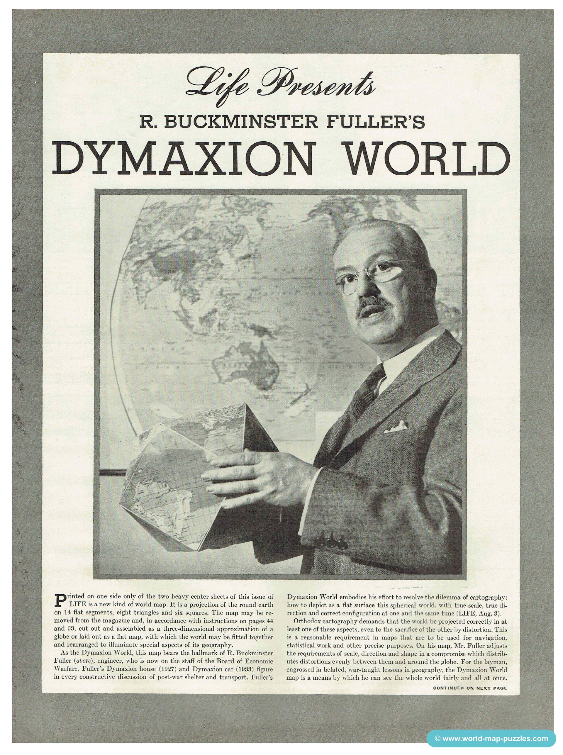
Welcome back to my next column of MAPPING THE WORLD with Maria! The new year started with a fascinating virtual meeting in January, in which Jackie took us into the world of moving puzzles. I would like to revisit this great topic today: The Moving One While hunting for new world map puzzles, I came across a newspaper article from the American LIFE magazine from 1943. As the world cannot simply be projected from the 3D representation (sphere) onto a 2D form, there are always distortions in the size of the countries and continents. To prevent this, R. Buckminster Fuller developed a moving map made of triangles and squares and called it "Dymaxion World".

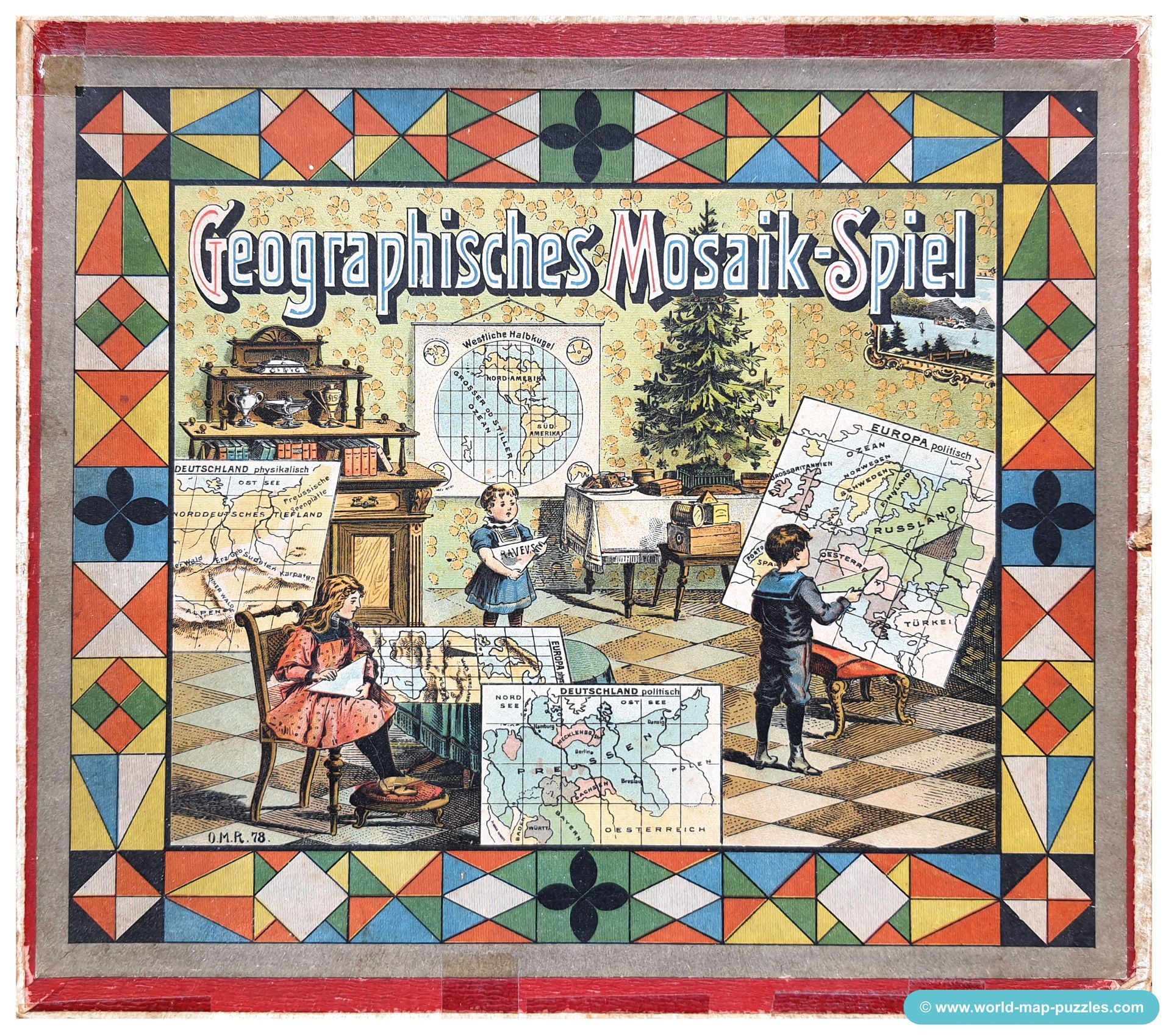
Another geographical patience game by the German manufacturer Otto Maier from Ravensburg is this mosaic puzzle. Published in 1899 (and later), I own three varieties of this game as well. Also, the content is different to each of them, e.g. instead of a German map they added a map of the Switzerland or of the Austrian-Hungarian Empire. The cut is different, too. The maps with the triangular pieces have different orientations.

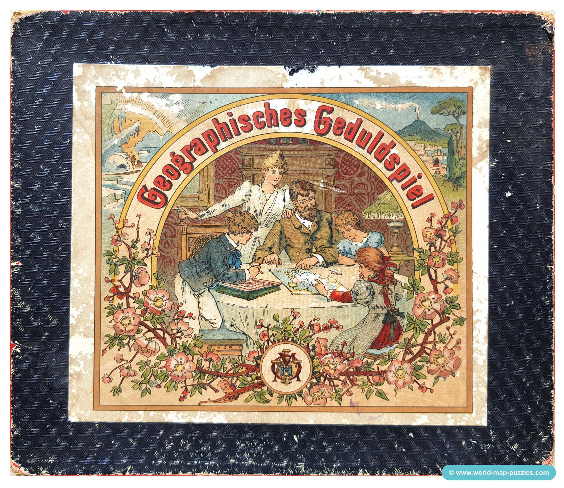
The Geographical Patience Game by the German manufacturer Otto Maier from Ravensburg was the first puzzle in the history of the Ravensburger Puzzle Company. Publishing in 1891, you can find this first puzzle game in different varieties. In my collection I have three of them with different boxes, sizes and maps. And not ONE set is complete... but I'm really happy that I have these varities of the oldest puzzle of Ravensburer history!

Wonderful and interesting jigsaw series with dates and facts about World War 2. 5 Puzzles, each 300 cardboard pieces made by Franklin MFG. Philadelphia / USA in 1942/1943. The world map was drawn by Stanley Francis Turner (1883-1953) and exists in at least 25 different versions (1940-1945). Got to item.

You can find lots of old geographical block puzzles in France but to get one from other countries is more than difficult - especially from Spain. So, like every time I have the chance to buy rare items I'm so happy about this small treasure. Unfortunately, there is no hint about its manufacturer or the map maker. It has 12 cubes made from cardboard (NOT wood!!!) and was made in the late 19th / early 20th century. In total, it shows six maps (the World, America, Europe, Africa, Asia and Spain with Portugal. Go to item.


